
Ubiik acquires Mimomax
Ubiik acquires Mimomax, creating a best-of-breed wireless solutions provider for utilities and critical infrastructure [Taipei, TAIWAN and Christchurch, New
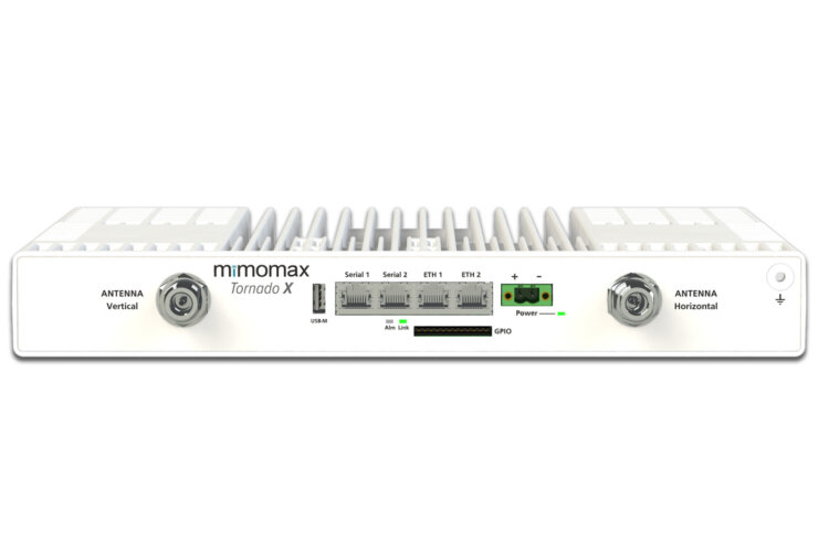
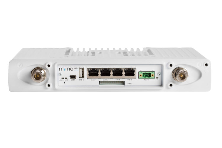
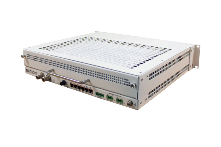
Utilizing Multiple Input, Multiple Output (MIMO) technology, full duplex communications and offering ultra low latency, Mimomax engineers communication solutions which optimize data throughput in narrowband channels.
Providing rapid control and feedback for SCADA networks and meeting the exacting standards required for critical voice backhaul, Mimomax’s solutions bring peace of mind to our mission critical communication customers.
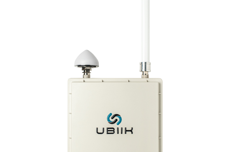
We offer low latency, high-capacity Point-to-Point and Point-to-Multipoint narrowband radios plus cost-effective, 3GPP standardized LTE Base Stations for both unlicensed and licensed frequency bands. Advanced technology combined with a range of software and accessories allow Mimomax to provide reliable and secure solutions to support critical infrastructure and voice communication.
Our robust communication solutions are deployed across the globe in point-to-point and point-to-multipoint configurations to support industrial infrastructure for Utility, Oil and Mining companies and to provide linking for Public Safety and Transport organisations.